
Ordnance Survey Maps of Cork City from City Engineers Department Cork Corporation
TitleOrdnance Survey Maps of Cork City from City Engineers Department Cork Corporation
ReferenceCP/CE/OS/A
Date
(1869) 1893 - 1934 (1951)
Production date 1869 - 1951
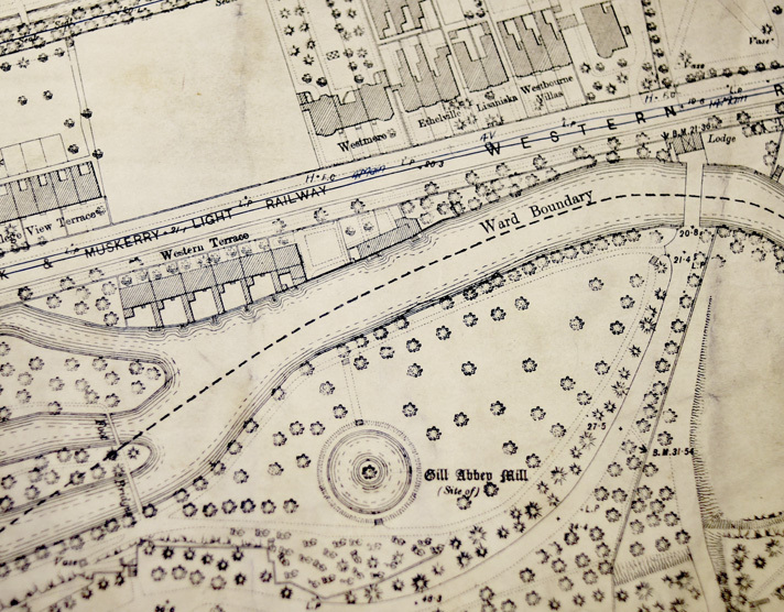
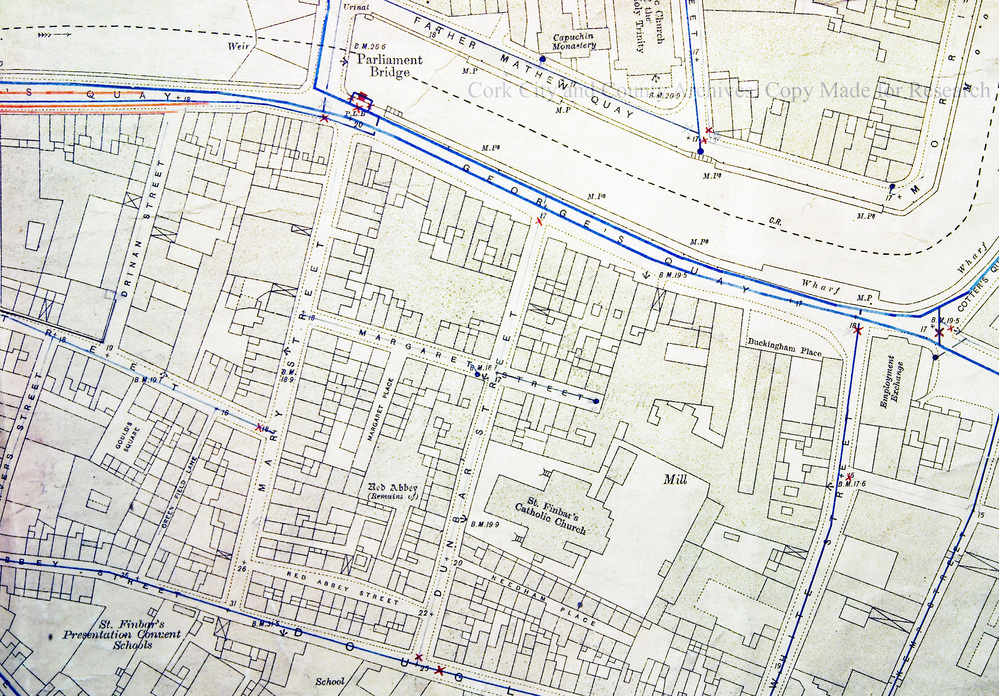
Scope and ContentAll from OS series 74 (LXXIV) of Cork City and some of its environs. Mainly scale 5 inches to 1 mile. Some maps have water supply and new streets/residential areas marked in.
Useful for charting the development of Cork City from c1890s up to 1930s including new suburbs.
Useful for charting the development of Cork City from c1890s up to 1930s including new suburbs.
Extent61 items
SubjectCork City
AccessHard copies: Accessible to Readers by appointment. Access restrictions apply to some collections. Digital object/copy: see Download Media and/or Digital Reference
RightsLicensing information available on request by email to archivist@corkcity.ie Copyright Cork City and County Archives, Cork City Council, unless otherwise indicated. All Rights Reserved.
Levelseries
Object categoryMaps, Plans and Drawings
Download media